| Advanced Map Reading: Interactive Geography Skills Lesson. |
| Strengthen map interpretation and navigation skills with advanced geography challenges. |
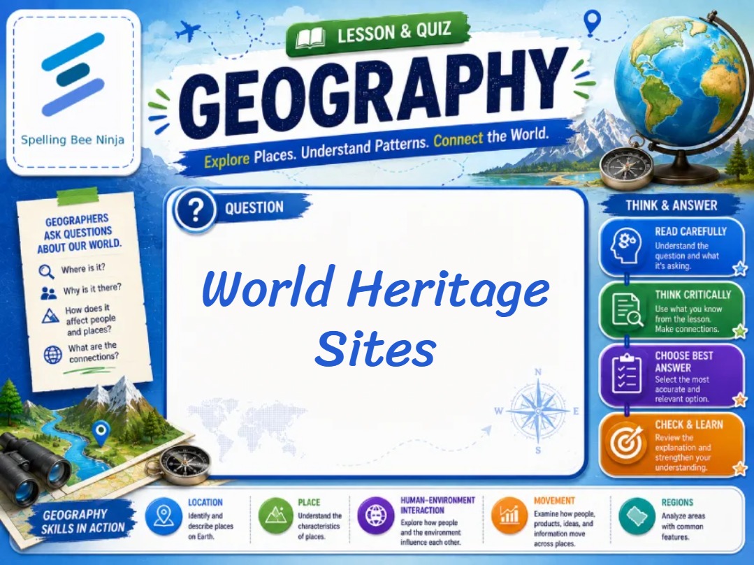
Welcome to our Geography Lessons and Quiz series! Each lesson includes 10 carefully selected questions designed to challenge your understanding of the world while teaching fascinating geographical facts through detailed explanations after every answer. Explore countries, capitals, physical landscapes, cultures, climates, and much more as you learn and test your knowledge.
🗺️ Keep Exploring Advanced Map Reading – Free & Fun Resources!
Continue your journey into advanced map skills with these trusted, free resources:
- USGS – Topographic Maps – Educational resources on topographic maps (.gov domain).
- National Geographic – Maps – Encyclopedia entries on map projections and reading.
- GPS.gov – Official GPS Information – Information on the Global Positioning System (.gov domain).
- MapTools – Map Reading Tutorials – Tutorials on UTM coordinates, bearings, and navigation.
🗺️ Fun fact: The Mercator projection, created in 1569, is still widely used for navigation because it preserves direction (rhumb lines are straight). However, it massively distorts area: Greenland appears larger than Africa, when in reality Africa is about 14 times larger! Greenland is about 836,000 square miles; Africa is about 11.7 million square miles. The Gall-Peters projection preserves area (equal-area) but distorts shape. Modern world maps often use the Robinson projection (compromise) or the Winkel Tripel projection (used by National Geographic since 1998). No map projection is perfect – all flat maps distort the Earth in some way.
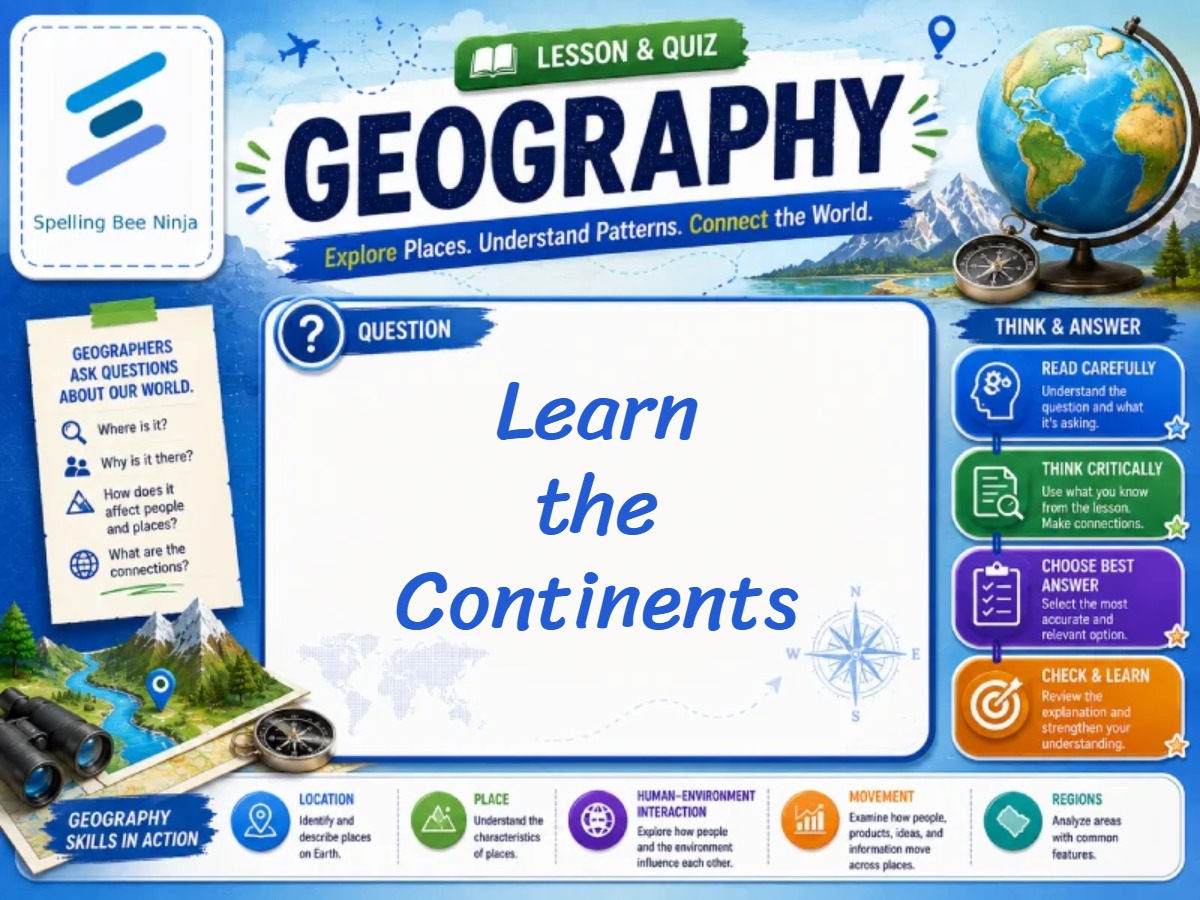 🎓 Learn the Continents: Interactive Geography Lesson for Kids🎓 Advanced Geography Challenge: Test Your Global Knowledge >>🎓 Maps for Beginners: Interactive Geography Skills Lesson >>🎓 Land and Water for Kids: Interactive Geography Lesson >>