CLICK HERE TO WIN THE SPELLING BEE !!!!

🎓 Geography Vocabulary: Essential Terms Every Student Should Know

Build your geography knowledge by learning key terms used to describe places, maps, and environments.

This entry is part 1 of 36 in the series Geography
Geography Vocabulary: Essential Terms Every Student Should Know.
Build your geography knowledge by learning key terms used to describe places, maps, and environments.

/10

Geography Vocabulary Quiz

Master the essential vocabulary that geographers use to describe our planet! This quiz teaches the key terms every geography student should know. Learn the difference between an isthmus (narrow land connecting two larger landmasses) and an archipelago (chain of islands). Understand what makes a plateau a "tableland," how a river delta forms, and why fjords are created by glaciers. Discover why estuaries are called "nurseries of the sea," what defines each major biome (rainforest, desert, tundra, grassland), and how a tributary differs from a river. Explore how atolls form from sinking volcanic islands and why permafrost (permanently frozen ground) is so important for climate change. Perfect for students in grades 5-8 who want to build a strong foundation in geography terminology for future studies in earth science, environmental science, and social studies.

What is an isthmus in geography? An isthmus is a narrow strip of land that connects two larger landmasses and is surrounded by water on two sides. Famous examples include the Isthmus of Panama (connecting North and South America) and the Isthmus of Corinth (connecting the Peloponnese peninsula to mainland Greece). The word comes from the Greek "isthmos" meaning "neck." Because of their strategic importance, isthmuses are often chosen for canals – the Panama Canal (built across the Isthmus of Panama) and the Corinth Canal (cut through the Isthmus of Corinth) are examples. An isthmus is the opposite of a strait (a narrow waterway connecting two larger bodies of water). Some of the world's most important trading routes cross isthmuses.

What does "archipelago" mean in geography? An archipelago is a group or chain of islands clustered together in a body of water. The word comes from the Greek "arkhipelagos" (arkhi = chief + pelagos = sea), originally referring specifically to the Aegean Sea, which is known for its many islands. Archipelagos can be found in oceans, seas, and lakes. They form through volcanic activity (Hawaiian Islands), tectonic processes (Japanese archipelago), or sea level rise that floods low-lying land (Indonesia). The world's largest archipelago by area is Indonesia (over 17,000 islands). Other famous archipelagos include the Philippines (7,641 islands), the Maldives (1,192 islands), Japan (6,852 islands), and the Bahamas (700 islands). Archipelagos are often biodiversity hotspots because islands allow unique species to evolve separately from mainland relatives.

What is a plateau? A plateau is a flat, elevated landform that rises sharply above the surrounding area on at least one side. It is often called a "tableland" because of its flat top resembling a table. Plateaus cover about 45% of Earth's land surface. They are formed by volcanic activity (lava building up layers), tectonic uplift (pushing flat rock layers upward), or erosion (wearing away surrounding land). The highest and largest plateau in the world is the Tibetan Plateau (the "Roof of the World") at 4,500 meters (14,800 feet) average elevation, covering 2.5 million square kilometers. Other examples include the Colorado Plateau (USA, home to the Grand Canyon), the Deccan Plateau (India), and the Altiplano (South America). Plateaus often contain valuable mineral resources and can be difficult to farm due to their elevation and climate.

What is a river delta? A river delta is a landform created by sediment deposited where a river flows into a slower-moving body of water (ocean, sea, or lake). The river slows down at the mouth, losing the energy to carry sediment, so the sediment (silt, sand, mud) drops to the bottom, building up land over time. Deltas are often shaped like the Greek letter Delta (Δ) – triangular or fan-shaped. The world's largest delta is the Ganges-Brahmaputra Delta (also called the Sundarbans) in India and Bangladesh, covering 105,000 square kilometers. Deltas are extremely fertile for farming and often densely populated, but they are vulnerable to flooding and sea level rise. The Nile Delta (Egypt), Mississippi Delta (USA), and Mekong Delta (Vietnam) are other famous examples. The word "delta" was first used by the Greek historian Herodotus to describe the Nile Delta.

What is a fjord? A fjord is a long, narrow, deep inlet of the sea between steep cliffs, created by glacial erosion. During ice ages, glaciers carve deep U-shaped valleys below sea level. When the glaciers melt and sea levels rise, the valleys fill with seawater, creating fjords. Fjords are found primarily in Norway (1,200+ fjords), New Zealand, Chile, Canada (British Columbia), Alaska, and Greenland. The word comes from the Old Norse "fjǫrðr" (where we get "fjord" and "firth"). Norwegian fjords like the Sognefjord reach depths of 1,308 meters (4,291 feet) and stretch 205 kilometers (127 miles) inland. Fjords are characterized by their steep sides, great depth (often deeper than the sea beyond), and typically have a sill (a shallow area) at their mouth. They are popular for tourism because of their dramatic scenery.

What is an estuary? An estuary is a partially enclosed coastal body of water where freshwater from rivers mixes with saltwater from the ocean. This mixing creates brackish water (salinity between fresh and sea water). Estuaries are extremely productive ecosystems – they are often called "nurseries of the sea" because 75% of all commercial fish species spend part of their life there. Estuaries come in different types: coastal plains (drowned river valleys, e.g., Chesapeake Bay), fjords (glacial valleys), bar-built (separated from ocean by sandbars), and tectonic (caused by land subsidence). Examples include San Francisco Bay (USA), the Thames Estuary (UK), the Amazon River estuary (Brazil), and the Gironde Estuary (France). Estuaries are threatened by pollution, development, and sea level rise. The word comes from the Latin "aestuarium" meaning "tidal marsh."

What is a biome in geography? A biome is a large geographic region characterized by specific climate conditions, plant communities, and animal adaptations. Major biomes include: tropical rainforest (Amazon, Congo, Southeast Asia – warm, wet year-round), desert (Sahara, Atacama – less than 250mm rain/year), tundra (Arctic – permafrost, no trees), taiga/boreal forest (Russia, Canada – coniferous trees, cold winters), temperate deciduous forest (Eastern US, Europe – four seasons, trees lose leaves), grassland/savanna (African savanna, American prairie – grasses, few trees), and aquatic biomes (freshwater and marine). Each biome has characteristic species adapted to its conditions. Biomes are determined primarily by temperature and precipitation. Climate change is causing biomes to shift toward the poles. The term was coined by American ecologist Frederic Clements in 1916.

What is a tributary? A tributary is a river or stream that flows into a larger river or lake (called the "mainstem" or "parent"). Tributaries do not flow directly into the ocean. The point where two rivers meet is called a confluence. The largest river system (Amazon) has over 1,100 tributaries, with 17 of them being over 1,600 kilometers long. The opposite of a tributary is a distributary – a river that branches away from the main river (common in deltas). The Mississippi River has major tributaries including the Missouri River (longest in North America), the Ohio River, and the Arkansas River. The term comes from the Latin "tribuere" meaning "to pay or grant" (tributaries "pay" water to the main river). Tributaries are essential for draining watersheds – the area of land drained by a river and its tributaries is called a drainage basin.

What is an atoll? An atoll is a ring-shaped coral reef, island, or chain of islands that encloses a central lagoon. Atolls form when a volcanic island sinks beneath the ocean surface (due to subsidence or sea level rise), but the coral reef continues growing upward around the former island. Eventually, only the ring of coral remains, with a lagoon in the middle. This process was first explained by Charles Darwin in 1842. Atolls are found primarily in warm tropical waters of the Pacific and Indian Oceans. The Maldives is a country consisting entirely of 26 atolls. Other examples include the Marshall Islands, Tuvalu, Kiribati, and the Lakshadweep Islands (India). Atolls are extremely vulnerable to climate change because their maximum elevation is usually only 2-3 meters (6-10 feet) above sea level. The word comes from the Dhivehi (Maldives language) word "atholhu."

What is permafrost? Permafrost is ground that remains completely frozen (at or below 0°C / 32°F) for at least two consecutive years. It is found primarily in the Arctic (Alaska, Canada, Russia, Greenland) and high mountain regions (Tibetan Plateau, Alps). Permafrost covers about 24% of Earth's land surface in the Northern Hemisphere. It can be as shallow as a few meters or as deep as 1,500 meters (4,900 feet) in Siberia. Above the permafrost is the "active layer" that thaws in summer. Permafrost contains huge amounts of trapped organic carbon (plants and animals that froze before decomposing) – about 1,500 billion tons, twice as much carbon as in the atmosphere. As the Arctic warms, permafrost thaws, releasing greenhouse gases (CO2 and methane) that accelerate climate change – a dangerous feedback loop. Thawing permafrost also causes ground collapse, sinking buildings, and creating "drunken forests" (trees that tilt).

🏆 Enter your data to receive
your score card and your certificate.

 *The name you will set will be used in your certificate of achievement.

Your score is

0%

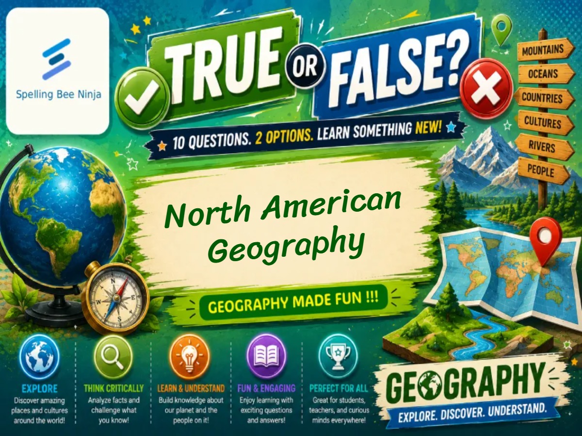
Welcome to our Geography Lessons and Quiz series! Each lesson includes 10 carefully selected questions designed to challenge your understanding of the world while teaching fascinating geographical facts through detailed explanations after every answer. Explore countries, capitals, physical landscapes, cultures, climates, and much more as you learn and test your knowledge.

Further Learning Resources

Continue building your geography vocabulary with these authoritative sources:

🎓 North American Geography Quiz – Countries & Geography🎓 North American Geography Quiz – Countries & Geography
🚀
Great free quizzes — weekly
Lessons - Games - Activities